What Roads In Duluth, Proctor, And Hermantown Do St. Louis County Plow Drivers Clear?
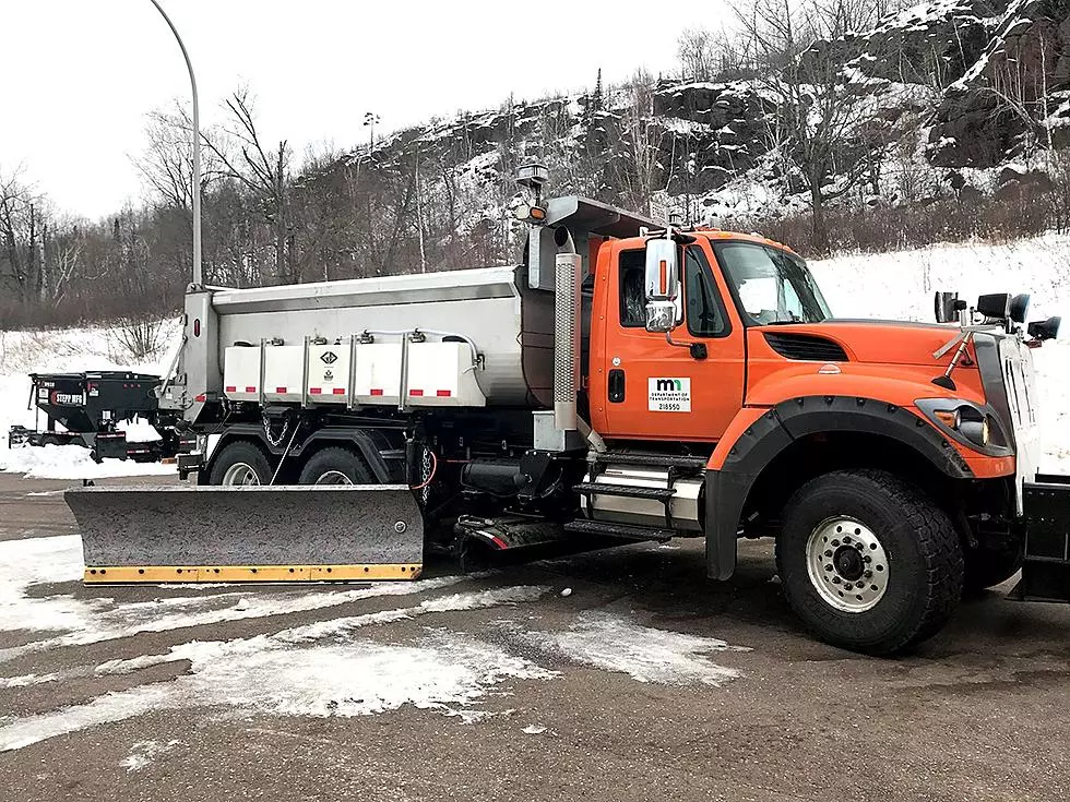
As a St. Louis County plow driver strike gets underway, you might be surprised to know just how many roads Twin Ports area residents regularly drive that could be impacted. St. Louis County drivers plow over 3,000 miles of roadway through the entire county, which spans from the Twin Ports area all the way up to the Canadian border.
Among these roads, they are responsible for County-State Aid Highways (CSAH), county roads, and unorganized township roads. While there may be a common thought that county roads are only in non-urban areas, there are a number of roads right here in the Twin Ports area that county drivers maintain.
County officials say they have a plan in the event of a strike, which includes "staff in other departments who are all licensed and qualified to use snowplows". The plan also prioritizes roadways based on traffic.

Even with that plan, there are bound to be issues if we get a sizable snow event in the region. That said, what roads are some of the main county plow drivers responsible for in the immediate Twin Ports area? Here's a list of some of the main roads, in alphabetical order:
- Arlington Avenue - Also known as CSAH 91, the county's span goes from Trinity Road (US 53) to Arrowhead Road.
- Arrowhead Road - Also known as County Road 32, the county's span goes from US 53 in Hermantown to the intersection with Arlington Avenue in Duluth.
- Becks Road - Also known as County Road 3, the county's share spans from MN 23 in Gary New Duluth, northward to Interstate 35.
- Haines Road - Also known as CSAH 91, the county's span goes from the intersection of 40th Avenue West and West 8th Street in Duluth and continues north to the intersection of Haines Road and Airport Road in Duluth.
- Jean Duluth Road - Also known as County Road 37, the county's share spans from the intersection with Glenwood Street northward to the intersection with County Road 44 (Normanna Road).
- Lavaque Road - Also known as County Road 48, the county's span goes from Proctor northward to US 53 in Hermantown, then continues from US 53 to the intersection with Fish Lake Road in Fredenberg.
- Lester River Road - Also known as County Road 12, it spans from Lester Park at Superior Street in Lakeside, and heads north to Roberg Road north of Duluth.
- Maple Grove Road - Also known as County Road 6, the county's span is from US 53 near the Miller Hill Mall to MN 33 between Cloquet and Grand Lake.
- Martin Road - Also known as County Road 9, which spans from Pike Lake to Arnold Road in Woodland, and County Road 10, which spans from Arnold Road to Jean Duluth Road.
- Midway Road - Begins at Becks Road in Eldes Corner, and heads north to near Caribou Lake.
- Morris Thomas Road - Also known as CSAH 56, the county's share spans from Piedmont Avenue in Piedmont Heights to MN 33 north of Cloquet.
- North Shore Scenic Drive - Also known as County Road 61, the county is responsible for the span from Brighton Beach along the Lake Superior shoreline all the way to the border with Lake County.
- Rice Lake Road - Also known as County Road 4, the county's spans is from Mesaba Avenue/Central Entrance northward to where it becomes Vermilion Trail, which heads to Biwabik.
- Thompson Hill Road/Boundary Avenue - Spans from Midway Road in Eldes Corner, and runs parallel with Interstate 35 to near Spirit Mountain, where it becomes Boundary Avenue, ending at US 2 in Proctor.
There are certainly a number of additional roads in the immediate Twin Ports area, and throughout the county that will be impacted. You can see an immediate Twin Ports area map of St. Louis County roads here, and get a breakdown of the entire county's roads here.
More From Sasquatch 92.1 FM