
Minnesota Weather Office Reports Bizarrely-Shaped Snow Falling During Storm
Why not add another oddity to this winter?
A year removed from several places around Minnesota breaking "snowiest winter ever recorded" records, the winter of 2023-2024 has been mostly a non-winter. Abnormally warm weather and limited snow had us on a path to see one of the least snowy winters ever just a year after breaking snowiest winter records.
As Mother Nature tries to make up for some lost time with a late-season snowstorm, a Minnesota weather office recorded some oddly-shaped snowflakes falling from the sky during this storm.
Weirdly-shaped "snow needles" fall during Minnesota snowstorm
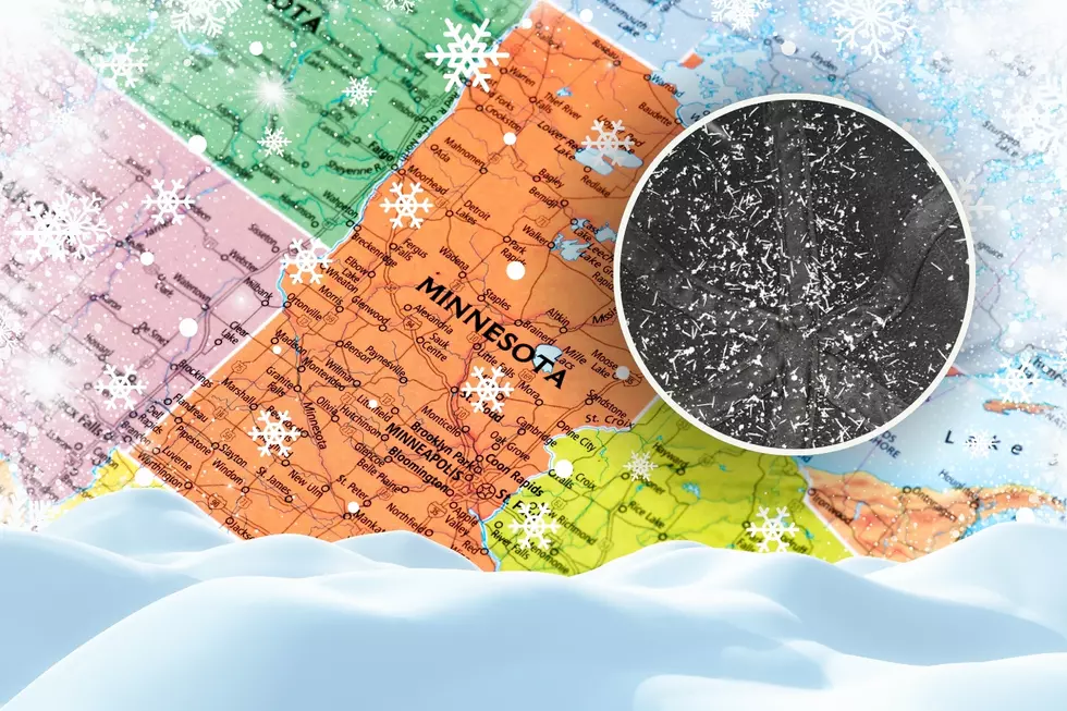
The Duluth office of the National Weather Service shared an image on Monday morning of "snow needles", or snowflakes that are shaped like needles, rather than the usual shape you'd expect when it snows.
READ MORE: How much snow have we received so far from this late-March storm?
The Duluth NWS office described the needles as 1/4 inch long. They were captured falling at their office on top of the hill in Duluth around 8:50 Monday morning.
Pretty weird, right? They do look like little needles or nails, rather than the normal intricate design you see when it snows.
What causes "snow needles" like the ones seen in Duluth?
While it isn't completely unheard of, this shape of snow isn't particularly common. It takes the right conditions in the atmosphere to develop this unique needle shape.

The California Institute of Technology says snow needles are caused when there is a slight temperature change of a couple of degrees as the snow makes its way through the atmosphere to the ground. CalTech says "Why this happens remains something of a scientific mystery".
After seeing some similar snow needles where they're located, WANE-TV explained that warmer temperatures (closer to the freezing point) up in the atmosphere where snow develops can lead to this unique shape.
The Duluth NWS office says that this needle snow that was recorded at their office fell with temperatures between 19 and 25 degrees aloft, which is warmer than what you'd see when more "normal" shaped snow falls.
The 16 Least Snowy Winters On Record In Duluth History
Gallery Credit: Nick Cooper - TSM Duluth
The 15 Snowiest Winters On Record In Duluth History
Gallery Credit: Nick Cooper - TSM Duluth