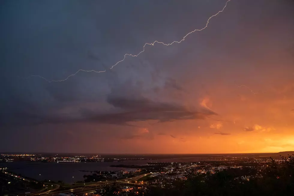
Large Hail, Damaging Winds Possible In Twin Ports With Monday’s Severe Storm Threat
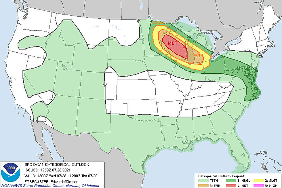
The Twin Ports area is at the center of the severe weather world in the United States for Monday. The Storm Prediction Center updated their risk map for severe weather Monday morning, placing the Duluth-Superior area at the center of the greatest risk for storms today.
While a majority of Minnesota and Northern Wisconsin are in a "slight" risk area, the Twin Ports is at the center of an "enhanced" risk area, which spans from the Brainerd, Walker, and Grand Rapids areas, covers areas like Duluth, Superior, Two Harbors, and Hinckley, and spans to the east to areas like Ashland in Wisconsin.
An "enhanced" risk, as explained by NOAA, means "numerous severe storms are possible" within the area with "more persistent and/or widespread" storms possible. Enhanced is the third level of risk on a scale of 1 (marginal/isolated) to 5 (high/widespread severe storms likely). The specific threats from these storms can vary, but it means that people in the area should be aware of the possibility of severe weather.

The specific threats for the Twin Ports area for today's storms, according to the National Weather Service, include large hail and damaging winds. The hail potential could be up to baseball-size and wind gusts could reach up to 70 mph.
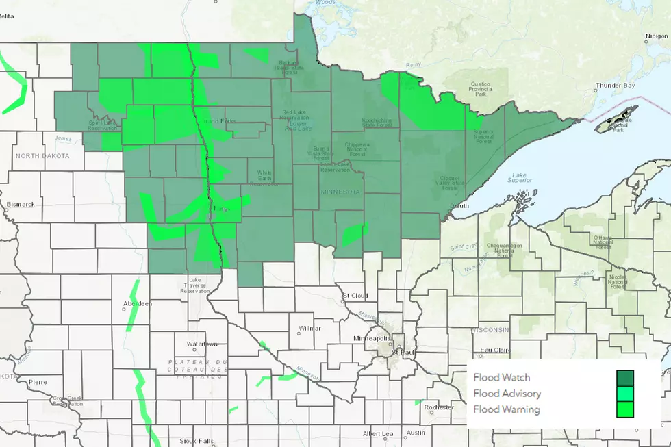
Additional threats for the "enhanced" risk area as well as the "slight" risk area (in yellow) include some localized minor flooding from heavy downpours. While not a high risk for these storms, there is also a chance of tornado development.
The timing, according to the Duluth office of the National Weather Service, will see storm development in the afternoon near the Minnesota/Canada border. The storms will move east/southeast with Northwest Wisconsin seeing the storms by evening. The specifics of that timing, according to an update from the Duluth NWS office, point to storms firing up around dinnertime, with the threat existing into the evening. They do point out, as seen below, that there could be redevelopment, which could mean more than one round of storms before things wrap up early Tuesday morning.
While the rain is definitely needed, here's hoping we don't see the destruction that happened almost exactly 5 years ago across the Northland as seen in the photos below.
Photos Of Duluth's July 2016 Devastating Wind Storm
More From Sasquatch 92.1 FM