National Weather Service: Isolated Severe Storms Could Pop Up Thursday
With summer-like temperatures across much of the Northland this week, you had to anticipate some storms at some point, right? According to the National Weather Service, Thursday is likely the greatest threat for storms that could range from strong to severe in the next few day for our part of the region. The good news is widespread severe weather isn't expected, but it's a good idea to know what to expect.
While there is a persistent chance of thunderstorms overnight and through the day on Thursday, the Duluth office of the National Weather Service says the greatest risk for stronger to severe storms will be when the threat is most commonly expected during storm season - during the afternoon and early evening hours.
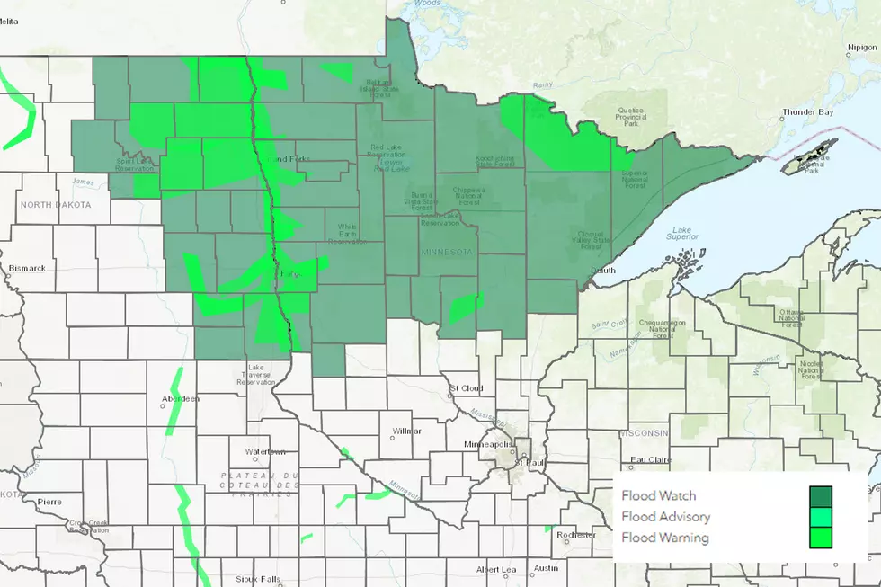
It is important to note that the Storm Prediction Center has placed a "marginal" risk for severe weather Thursday, which means that widespread severe weather is not expected. It does mean that there is the potential to see some of tomorrow's storms get to a severe isn't out of the question across the area in dark green in the map below. So there's no reason to full-on panic by any means. It is always a good idea to be "sky-aware" as they say, however to make sure you're safe.

As the Duluth National Weather Service's Facebook post explains, rain showers and scattered thunderstorms remain the key threat. In the event a storm does turn more aggressive, the expected threats include hail, wind gusts up to 50 mph. frequent lightning, and locally heavy rain.
So again, while there is no widespread threat, we're officially in storm season. Be smart, and be safe!
10 Major Summer Weather Events In Northland History
Things People Hate About Summer
More From Sasquatch 92.1 FM


